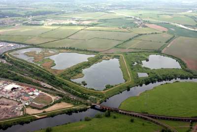
The lagoons are situated in the valley of the river Trent, to the south of Nottingham and are a valuable resource for the local population of Netherfield. In the past they have been used as pasture land, for gravel extraction and as settling lagoons by the local colliery. The local people have used the site for recreation, for fishing, camping, walking and, more recently, as a place to come into contact with wildlife.
History
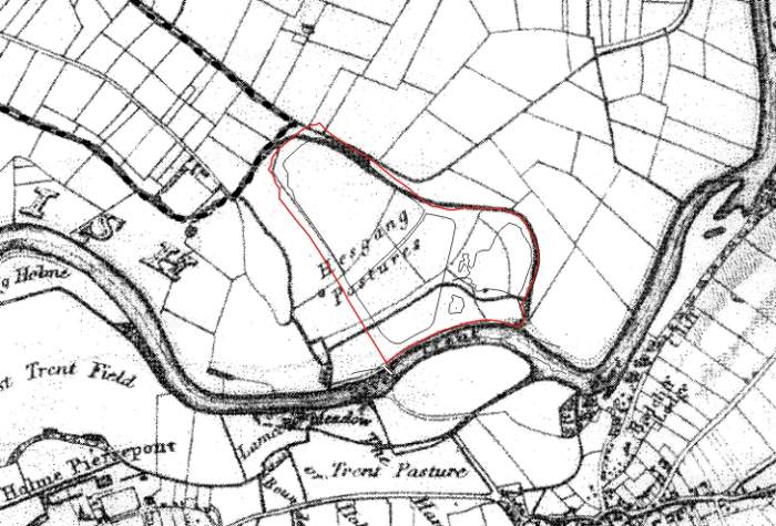
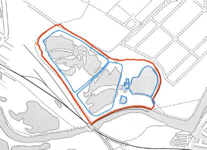
The Large and Small Gravel Pits still exist from these times but when Gedling Colliery acquired the site in 1970 ? they constructed the Slurry Lagoon and Deep Pit, to use as settling lagoons. Water was pumped from the river Trent up to the colliery, a couple of miles away, where it was used to wash the coal. The water was then pumped back to the lagoons, where the solid matter was allowed to settle out, before the water was returned to the river.
In 1991 Gedling Pit closed and the lagoons became redundant. They were rapidly colonised by wildlife and local naturalists soon became aware of their potential as a nature reserve. A local group was set up in 1998 to monitor the site’s wildlife and began moves to protect the site and secure its reserve status. Gedling Conservation Trust was set up in 2005 to take over the ownership of the site from UK Coal and now manage the site in the interests of its wildlife.
Habitats
The site is divided into three sections by the three water bodies, the Slurry Lagoon, the Deep Pit and the Gravel Pits each with their own very different flora and fauna.
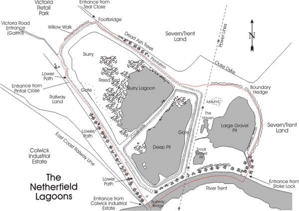
Slurry Lagoon

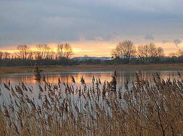
The Slurry Lagoon a few years ago was a miserable grey expanse of slurry with water covering about one third of it. Now a reed bed is rapidly developing and it could eventually be totally covered by reeds. Waders used to like the open structure of the habitat and fed along the shore line and at one time over 3,000 Golden Plover regularly roosted here but the encroaching reeds now give too much cover to predators and the waders are not so common, although birds such as Avocets, Godwits, Curlew and Snipe still visit. Ducks still like the lagoon, especially Teal, Shoveler and Pochard but the real denizens of the reed beds are birds such as Bearded Tits, Bittern and Marsh Harrier, all of which are visiting the site more often now that the reed beds are growing so large. The Reed Warbler has found the reed beds a favourable habitat and their population is expanding in unison. The Slurry Lagoon has good quality water and many invertebrates do well in this habitat and the reed beds have their own insect fauna, including more than one species of Wainscot Moth. Amongst the reeds also grow several other flowering plants and Southern Marsh, Spotted and Bee Orchids have considerable populations amongst them.
Deep Pit
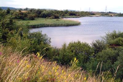
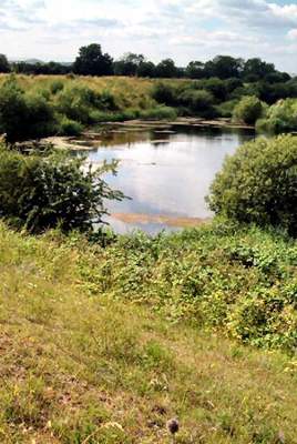 The Deep Pit was intended to be filled with slurry like the previous lagoon but the colliery closed before this could happen. The sides are very steep and the water very deep. The banks now have large patches of scrub which have developed into perfect breeding habitat for a range of birds, especially warblers, including Cetti’s Warbler. Amongst the scrub are areas kept clear so that flowering plants can colonise (including five species of orchid) and these attract a wide range of insects, especially butterflies. The reed beds along its margins are also attractive to the Bitterns and Marsh Harriers. On the open water floating platforms have been installed to allow Common Terns to breed and in the taller trees a Tawny Owl box is regularly occupied. Along the top of the banks butterflies such as Common Blue and Brown Argus can be found and in 2006 Clouded Yellows are thought to have bred.
Gravel Pits
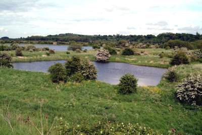
The Gravel pits have the best sites for seeing dragonflies and most of the 23 species seen on the reserve breed in this area. The banks down from the Deep Pit (in the foreground of the picture) hold several territories of Grasshopper Warblers and Sedge Warblers like this area too. The water bodies are rich in invertebrates, including several species of water beetle, and are a perfect site to go pond dipping. In the winter large numbers of ducks, mostly Gadwall and Wigeon, and Coots are present to feed on the water weeds which abound in the Large Gravel Pit. In some winters the whole of this area is flooded from the river, so that the two pits become one.
